Habitat for Humanity in July
I have always wanted to volunteer with Habitat for Humanity, but, for some reason or another, I did not find the right opportunity to do so, until our Social Committee coordinator proposed that we volunteer as a company. I signed up, and "volunteered" my teenage son and daughter. They both thought it would be a great idea and agreed to participate.
In addition to this trio, several other CA members and a friend signed up.
Habitat for Humanity did a wonderful job providing us the necessary information about what we would be doing, what we needed and the location of the project.

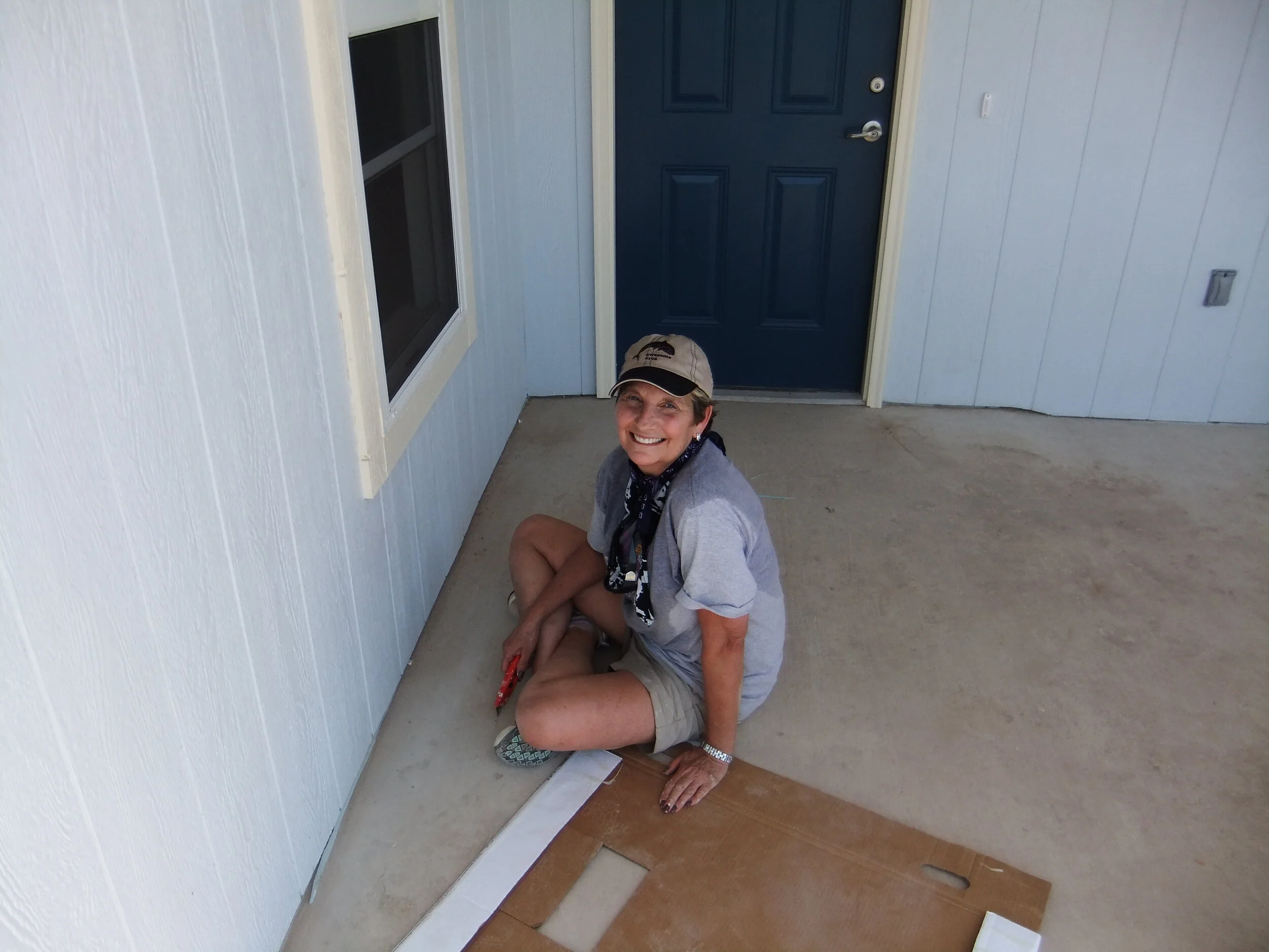
On the work day, the CA Team showed up on time and ready to go. One of the work options they provided was "dirt work", a Civil Engineer's dream come true. Needless to say, we jumped on that one.
The regular Habitat for Humanity volunteers welcomed everyone and explained our tasks for the day. Our team was to move "dirt" from the dirt piles and spread it in the backyard of one of the homes under construction to create a well graded and drained backyard.
The temperature in the morning was still below 100, and the energy level was still pretty high. The Team, including the two teenagers, did a great job moving the dirt and grading the back yard.

Later on, Jana and the teenagers took on painting the porch.
By lunch time, we were all pretty hungry. We stopped, ate some sandwiches, and a watermelon! At that point the temperature was a toasty 102 Degrees, and the watermelon was very well appreciated.

At the end of the day, we were all having pains in muscles we did not know we had, but everyone agreed that this was a great and worthy experience and that we would definitely participate again.
The most rewarding part was to work and interact with the future owners of the home. Habitat for Humanity requires that families participate in the construction process or in other volunteer activities in order to be eligible to purchase a home. These homes are sold at no profit and with a zero percent interest mortgage. See http://www.austinhabitat.org/about_us/new_home.php for additional information and how you can sign up to help as an individual or a group.
Elias Haddad, P.E.
Encroachments - A Legal Term

When conducting a survey, many owners, title companies, and attorneys will ask for all encroachments to be shown on a survey. This is a difficult order to fulfill.
According to Black’s Law Dictionary, Sixth Edition, an encroachment is “an illegal intrusion…”. To put it in simpler terms, an encroachment occurs when a man-made object (improvement) crosses a property line or easement line AND the owner of the easement or adjoining parcel does not allow the improvement to be there. From the surveyor’s perspective, how are we to know what is allowed or not allowed?
I contend that is not the surveyor’s charge to decide what is allowed or not allowed. It is the surveyor’s responsibility to report what he or she finds at the time of the survey and simply report the facts.
This becomes a little more complicated when it comes to fences. In the field, it is hard to determine the ownership of a fence (who paid for it) without looking at a receipt. Therefore it is next to impossible to determine if there is an encroachment or not. However, it is possible to show the position of the fence relative to the property line without regard to the ownership. Most boundary and title surveys will show all improvements within five (5) feet of the property lines. This will give a clear idea of what may or may not cross the line.
When everything is said and done, the word “encroachment” is a legal term. A surveyor can, and should, should show intrusions or protrusions of improvements across a line and let the lawyers decide whether or not it should be there.
By: Miguel A. Escobar, L.S.L.S., R.P.L.S.
A short history of CAD in civil engineering

Many may not know that the CAD industry has been around since the 50's. It started off with various confusing acronyms but the most typical was CADD “Computer Aided Drafting and Design” and the commonly known CAD “Computer Aided Design”.
In the 60’s the CAD industry was just starting but, initial hardware and software running at the time known as the workstation was not cost effective. Many companies used hand drafting as a typical approach to civil engineering design. During this time a construction plan set didn’t have a lot of redundant information. Having this kind of information would have made changing the design especially at the end of a project very tedious and time consuming. A great deal of plan set review also had to be implemented due the sheer strain of doing everything by hand. This type of drafting continued in some regions of the US until the 1980’s.
As time passed hand drafting became a thing of the past and the CAD industry became a major player in how a construction plan set was produced. As it got easier to obtain workstations and trained employees, various different civil software programs were marketed each having their own pros and cons. Even though everything was still designed by hand, technology made it easier by putting the calculations into a 2D line work form. It was still manual drafting. The workstation became an extension of the technician. It lessened the amount of strain on the designers, but still required the same amount of plan set review. Slowly the CAD industry standard was set and stayed there unchanged for some time.
Since the beginning of the 2000’s, the technology has pushed the CAD industry into the three dimensional realm. CAD software now allows one to create a virtual model of a project instead of just 2D line work. This virtual model has the capability of using clash detection for conflicts in underground or in building utility lines, updating quantities on the fly and text labeling now reads straight off the model. This makes a complex set of construction plans, with today’s push for redundant information, actually easy to produce and easy to change at any point in the project.
This is an exciting time in the CAD industry with all the latest techniques and practices applied to civil engineering, land planning, and surveying disciplines. Cunningham-Allen is proud of our consistent level of knowledge in the software techniques and practices of the past and equally as proud of our efficiency with today’s software.
Water Quality Success for LOWE's Southwest Austin Store

In June of 2003, Cunningham-Allen, Inc. (CA) was retained to work in conjunction with the project Civil Engineer on the design and permitting of the new Lowe’s store in Southwest Austin.
The project site is in the Edwards Aquifer Recharge Zone and in the Barton Springs SOS Zone. These are environmentally critical areas established by the Texas Commission on Environmental Quality (TCEQ) and the City of Austin (COA), respectively, and require additional water quality measures and permitting.
In particular, the Barton Springs SOS Ordinance imposed a “zero degradation” standard to storm water quality, meaning that water quality measures had to ensure that the quality of the storm water runoff flowing over the improvements has been returned to its pre-development condition before it is released from the site.
CA was very familiar with these design requirements because we had worked with the City of Austin on developing water quality measures for one of the first projects that had to comply with this new ordinance.
For the LOWE’S project, we worked in conjunction with the project Civil Engineer and designed a system that collected all the storm water that runs off the impervious cover (such as roofs and parking lots) and directed it to a retention basin. Storm water is allowed to settle in the retention basin for 12 hours, then it is pumped via a pumping system to be irrigated over an area of the site that had been dedicated for this purpose and left undisturbed. The size of the irrigation area was calculated based on the estimated volume of runoff (or water quality volume) and the estimated soil infiltration rate such that the entire water quality volume infiltrates the soil and is naturally treated through the existing vegetation’s root system and other microorganisms. As an additional measure of safety, berms were constructed downstream of the irrigation field such that runoff, if any, is captured and recycled through the retention pond and irrigation system.
This design, known as a “retention/re-irrigation system” was submitted to the COA and was approved with minor modifications.
As mentioned above, the project was also under TCEQ’s jurisdiction, which required specific permitting for storm water and wastewater. CA prepared the necessary permit applications and assisted the Owner in securing these approvals as well.
Finally, CA was excited to participate with the Owner, the project Architect, and the Civil Engineer on this project to assist them in securing a Bronze Certificate for LEED design (Leadership in Energy and Environmental Design) based on the innovation and effectiveness of the water quality system.